
Interested in capturing the king tide on Cape Ann on Friday, November 7th? TownGreen is starting a new participatory science program that uses the Coastal Zone Management (CZM) app MyCoast, which can be downloaded on your phone or accessed online. We want to increase the documentation of king tides and storm surge flooding on Cape Ann. The next king tide, as predicted by NOAA, will take place on November 7, 2025, at 12:20 pm.
We are asking interested participants to meet us at one of the locations below or take photographs of this event around Cape Ann, such as low-lying roads and in neighborhoods, particularly at places that correspond to some NOAA water level monitor locations:
- Essex River on the 133 Causeway
- Gloucester Harbor at Harbor Cove
- Rockport Harbor on T-Wharf and Bearskin Neck
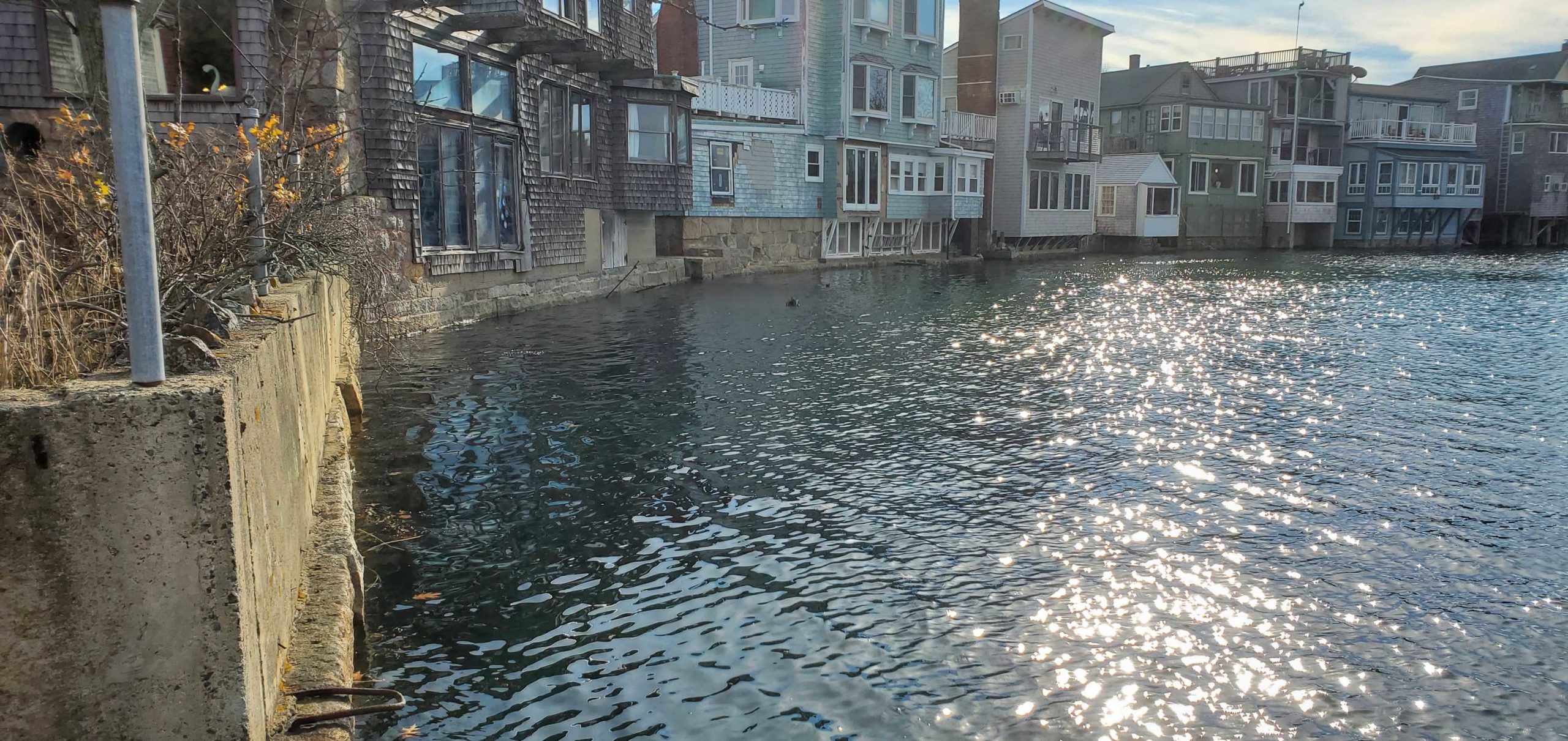
- Lobster Cove, Annisquam Footbridge
- Manchester-by-the-Sea Harbor behind Town Hall
About the MyCoast App
MyCoast is a data collection platform that enables public participation in documenting a variety of coastal conditions throughout the US. The information is used to assess and inform coastal management. The MyCoast: Massachusetts has a website dedicated to king tides, which is one of four tools used for monitoring. The others are StormReporter, Coastal Resilience, and CoastSnap.
What is a King Tide?
The highest tides of the year are known as king tides. It is a natural occurrence in which gravitational pull from the alignment of the Earth, sun, and moon exerts the strongest effects on Earth’s oceans. The highest and lowest tides on Cape Ann typically occur in the Fall, usually in October or November. Spring tides in March, April, or May are also high.
Why Monitor King Tides?
Sea level is rising due to climate change, which means that over the next several decades, coastal communities like Cape Ann will experience changes to shorelines. Building a photographic record acts as an assessment tool for state and local agencies and assists in economic planning.
To sign up, contact maureen@town-green.org.